Nazca Lines: Art Meant Only for the Sky
For centuries, farmers and shepherds walked across giant drawings without ever knowing they existed. Only from the air did the desert reveal its secret.
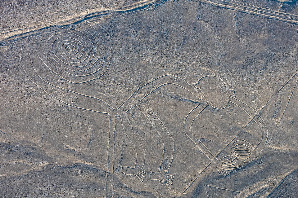
In the arid plateau of southern Peru, between the towns of Nazca and Palpa, the ground itself seems to hold a message. Stretching across more than 1,300 kilometers of combined lines and covering about 50 square kilometers, the Nazca Lines are shallow trenches cut into reddish-brown, iron oxide-coated pebbles, exposing the pale yellow-grey soil beneath. Made between 500 BC and 500 AD across two phases — the Paracas phase from 400 to 200 BC and the Nazca phase from 200 BC to 500 AD — these markings have survived largely because of the region's dry, windless, and remarkably stable climate.
Most of the lines are straight, running across the landscape like arrows aimed at the horizon. But scattered among them are more than 70 zoomorphic figures: a hummingbird, a spider, a fish, a condor, a heron, a monkey, a lizard, a dog, a cat, and a human form, along with trees and flowers. The largest figures stretch nearly 370 meters long, and while some can be glimpsed from nearby foothills, their true shapes only resolve when viewed from about 500 meters in the air.
The first known written mention of the lines came from Spanish conquistador Pedro Cieza de León in 1553, who mistook them for trail markers. In 1569, Luis Monzón described ancient 'roads' he had seen in Peru. Although parts of the lines were visible from nearby hills, the first people to report them in the twentieth century were Peruvian military and civilian pilots flying over the desert. Soon after, in 1927, Peruvian archaeologist Toribio Mejía Xesspe spotted them while hiking through the foothills, presenting his findings at a Lima conference in 1939.
The real breakthrough came from American historian Paul Kosok, who traveled to Peru in 1940–41 to study ancient irrigation systems. Flying above the desert, he recognized one line as the shape of a bird. Later, a chance observation helped him see how certain lines converged on the horizon precisely at the winter solstice in the Southern Hemisphere — a discovery that suggested the desert floor doubled as a calendar.
Kosok's work drew in archaeologist Richard P. Schaedel and German mathematician and archaeologist Maria Reiche, who together proposed that the figures functioned as astronomical markers, tracking where the sun and other celestial bodies rose on significant dates. Their theories launched decades of study by archaeologists, historians, and mathematicians, each trying to decode why an ancient people would draw pictures visible only from the sky.
More from Archaeology
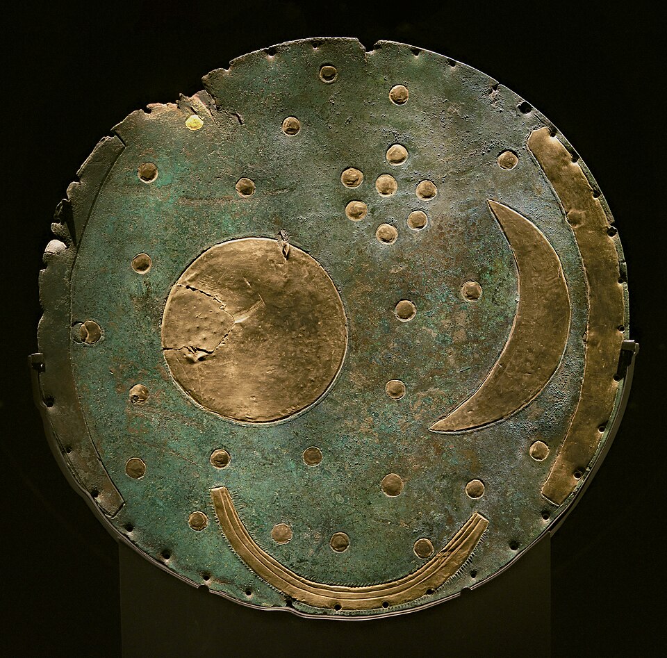
The Bronze Disc That Rewrote the Sky
Two looters with a metal detector dug up something illegal, invisible in value, and older than Stonehenge's final stones — a map of the heavens buried for over three thousand years.
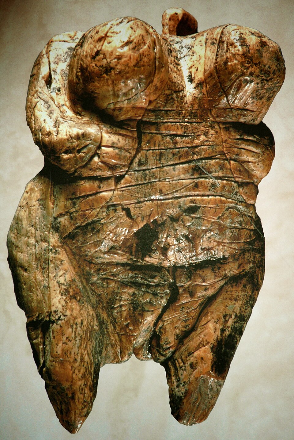
The Faceless Women of the Ice Age
Long before writing, before cities, before the wheel, someone carved a woman's body into stone and ivory — and left no name, no face, no explanation.
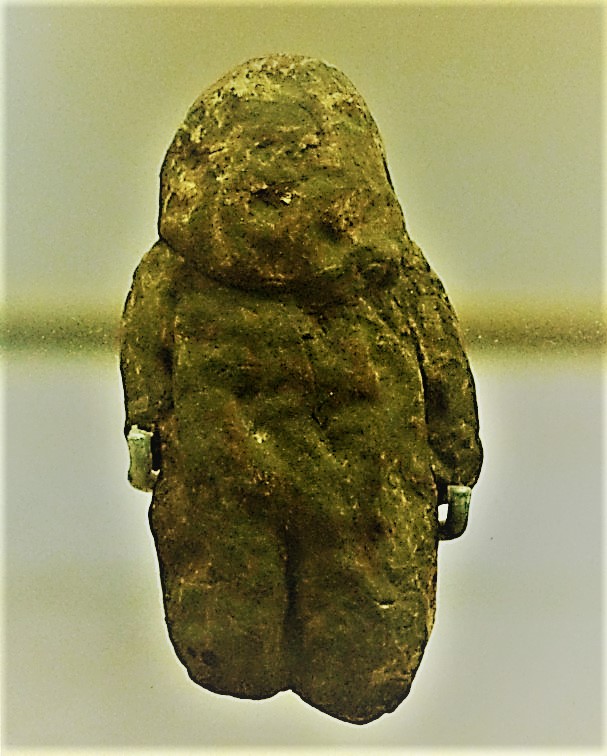
The Pebble That Might Be Human
A palm-sized stone found on a Moroccan riverbank may be humanity's oldest attempt to see itself — or simply a trick of erosion.
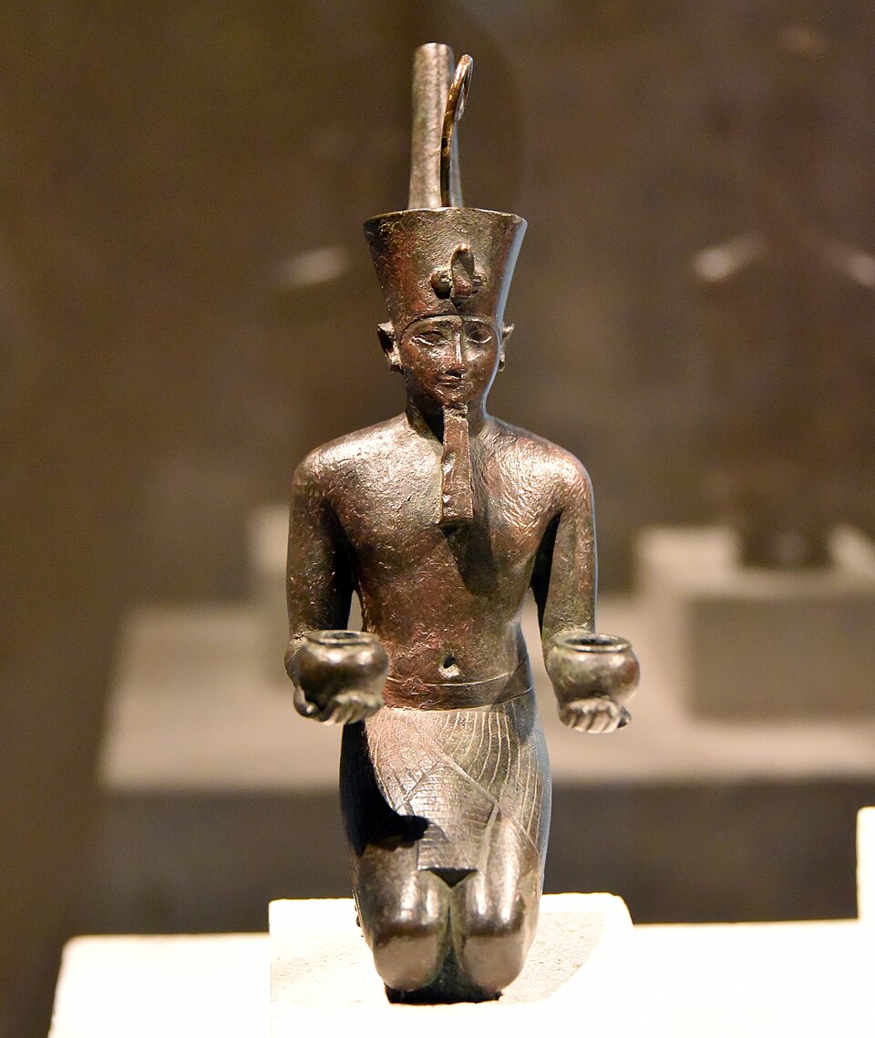
The Crown That Vanished: Deshret and the Red Land
A crown worn by kings for three thousand years has never once been found in a tomb — not one. So where did it go?
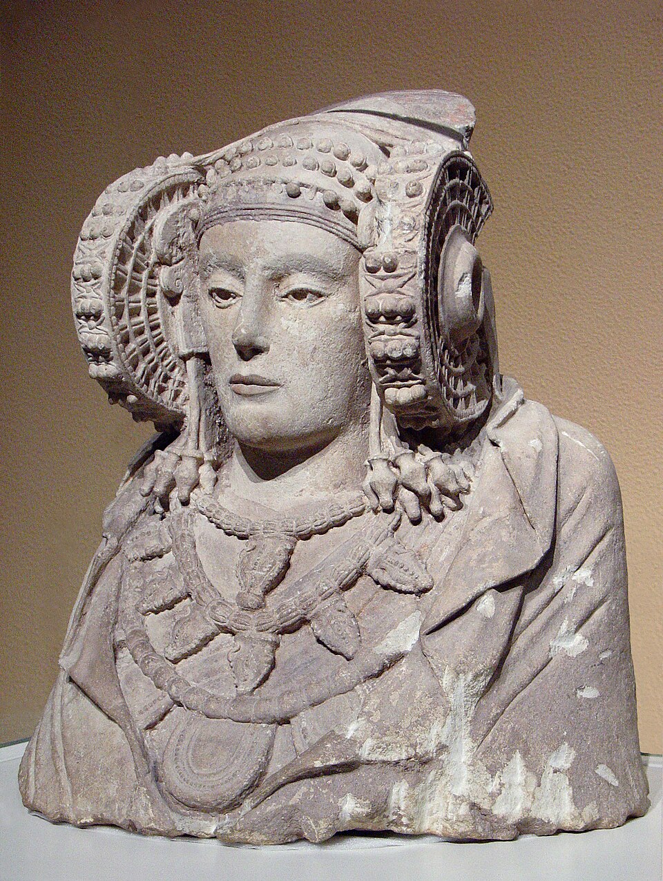
The Face That Traveled Between Empires
A farm worker's shovel struck stone in 1897 and unearthed a face so striking it would be sold to France, seized as war booty, and finally traded back for a Velázquez.
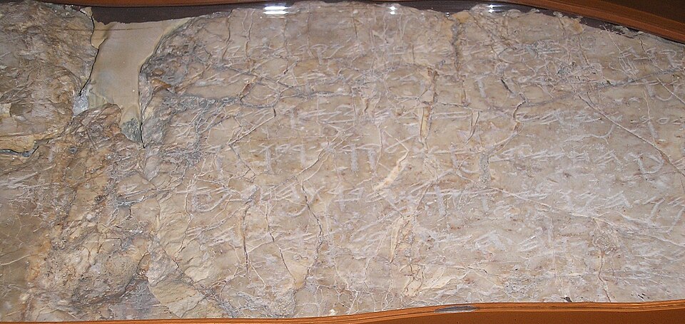
The Boy in the Dark Tunnel
A schoolboy fell into black water inside an ancient tunnel and surfaced with his fingers brushing letters no one had noticed for 2,600 years.