The Clay Tablet That Held the Whole World
A small circle of baked clay claims to show everything beyond the horizon — Babylon at the center, monsters at the edge, and Noah's ark somewhere in between.
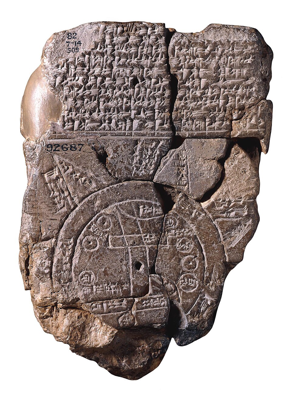
In 1882, the British Museum acquired a battered clay tablet dug up by Hormuzd Rassam at Sippar, a site some 60 kilometers north of Babylon on the Euphrates. It was not immediately obvious what the fragment was. Seven years later, when scholars finally translated its cuneiform text, they realized they were holding something extraordinary: the oldest known map of the world, etched in Akkadian script no earlier than the 9th century BC, though most likely from the late 8th or 7th century.
The map itself is small and circular, bounded by two concentric rings. These rings represent idmaratum, the 'bitter river' — a great salt ocean believed to encircle all known land. At the center of this world sits Babylon, marked just north of the map's middle point, straddling the Euphrates as it flows from north to south. The river's mouth is labeled with the words 'swamp' and 'outflow,' marking where the great waterway dissolved into marshland.
Around Babylon, the mapmaker placed the known geography of the era. Susa, capital of Elam, appears to the south. Urartu is marked to the northeast. Habban, capital of the Kassites, is shown to the northwest — though in reality it lay elsewhere, a small but telling error. Seven small circles scattered within the boundary likely represent seven cities, while curved lines suggest the Zagros Mountains rising in the north-northeast.
Beyond the watery boundary, the mapmaker imagined the truly unknown: seven or eight triangular regions called nagu, jutting outward like mountains from the edge of the ocean. Descriptions survive for only five of them, inscribed on the tablet's reverse in 29 lines of text. Each is introduced by the same formula — 'to the n-th region, where you travel seven leagues' — a phrase scholars believe describes the width of the ocean itself rather than the distance between regions.
The surviving descriptions hint at a world stitched from wonder and warning. The third nagu appears to be a desert so vast that 'a winged bird cannot safely complete its journey.' The fourth mentions objects strangely large, 'thick as a parsiktum-measure, twenty fingers.' The seventh describes horned cattle that 'run fast.' Scholar Irving Finkel has argued that the parsiktum-measure — a unit otherwise found only in descriptions of Utnapishtim's ark, the vessel from the Babylonian flood story — links this triangular region to the legendary resting place of that ark, near Urartu, much as later tradition placed Noah's ark on Mount Ararat.
More from Archaeology
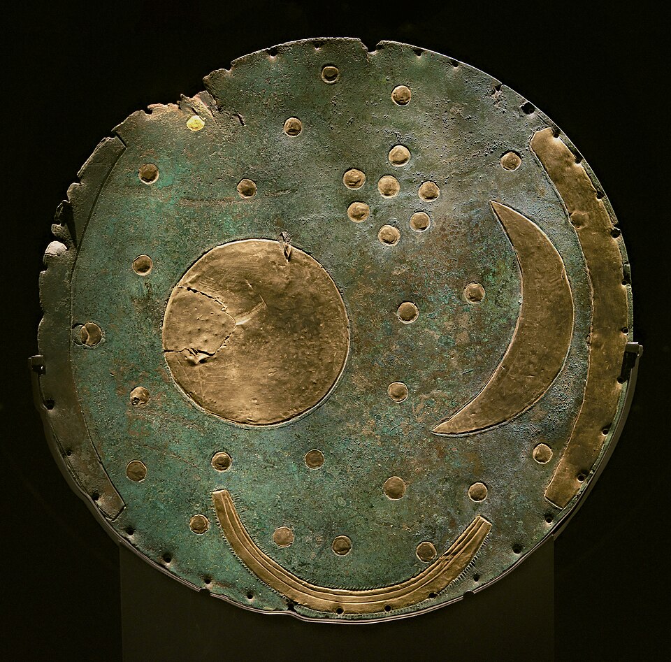
The Bronze Disc That Rewrote the Sky
Two looters with a metal detector dug up something illegal, invisible in value, and older than Stonehenge's final stones — a map of the heavens buried for over three thousand years.
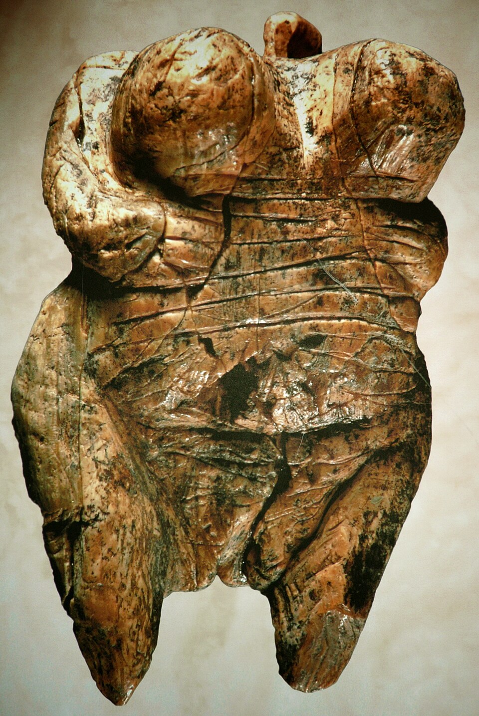
The Faceless Women of the Ice Age
Long before writing, before cities, before the wheel, someone carved a woman's body into stone and ivory — and left no name, no face, no explanation.
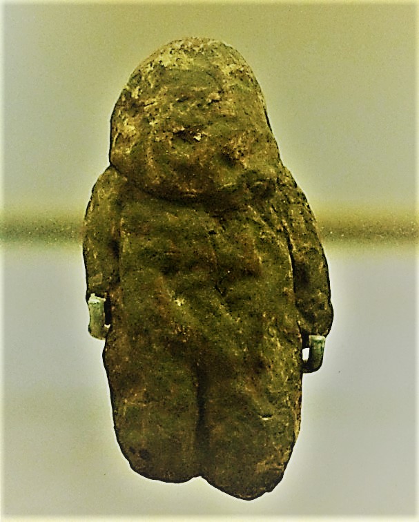
The Pebble That Might Be Human
A palm-sized stone found on a Moroccan riverbank may be humanity's oldest attempt to see itself — or simply a trick of erosion.
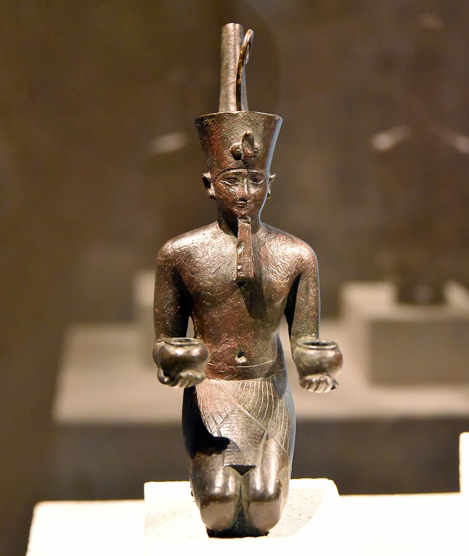
The Crown That Vanished: Deshret and the Red Land
A crown worn by kings for three thousand years has never once been found in a tomb — not one. So where did it go?
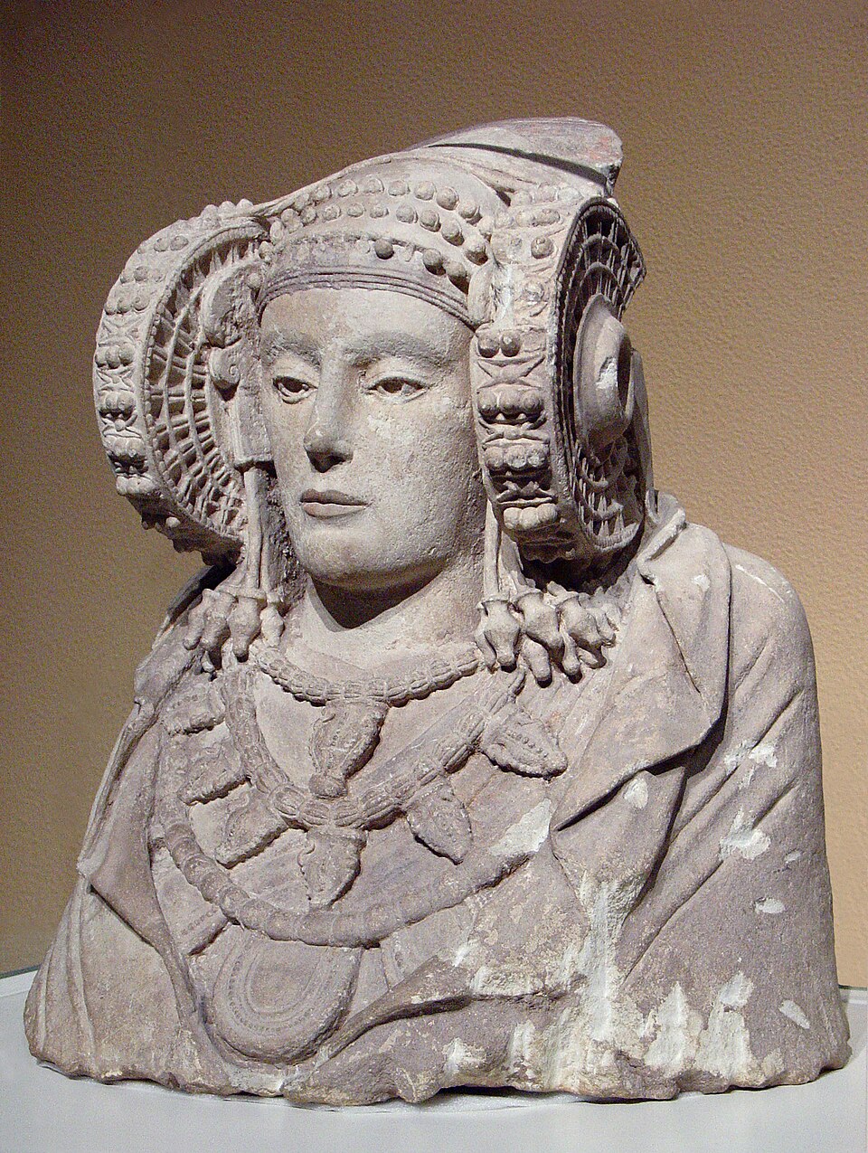
The Face That Traveled Between Empires
A farm worker's shovel struck stone in 1897 and unearthed a face so striking it would be sold to France, seized as war booty, and finally traded back for a Velázquez.
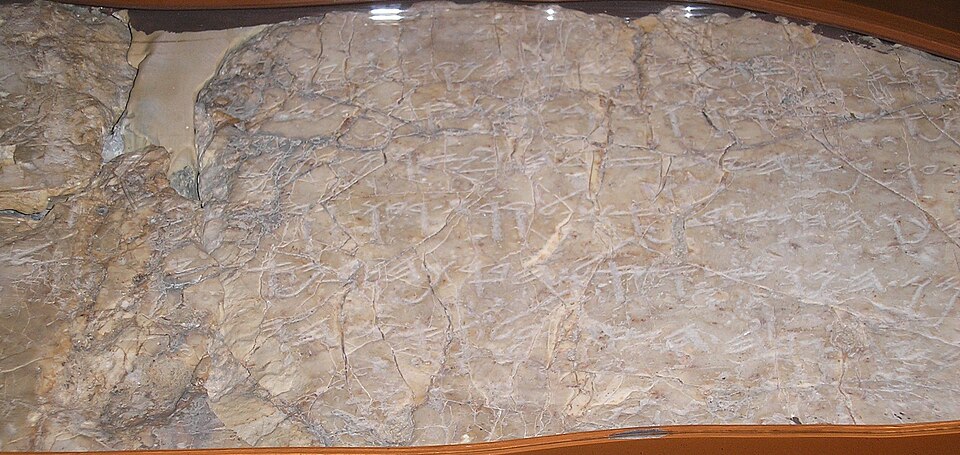
The Boy in the Dark Tunnel
A schoolboy fell into black water inside an ancient tunnel and surfaced with his fingers brushing letters no one had noticed for 2,600 years.