The Farm Boy Who Mapped the Pacific
He started out mucking stables for eightpence a week — and ended up redrawing the map of half the world.
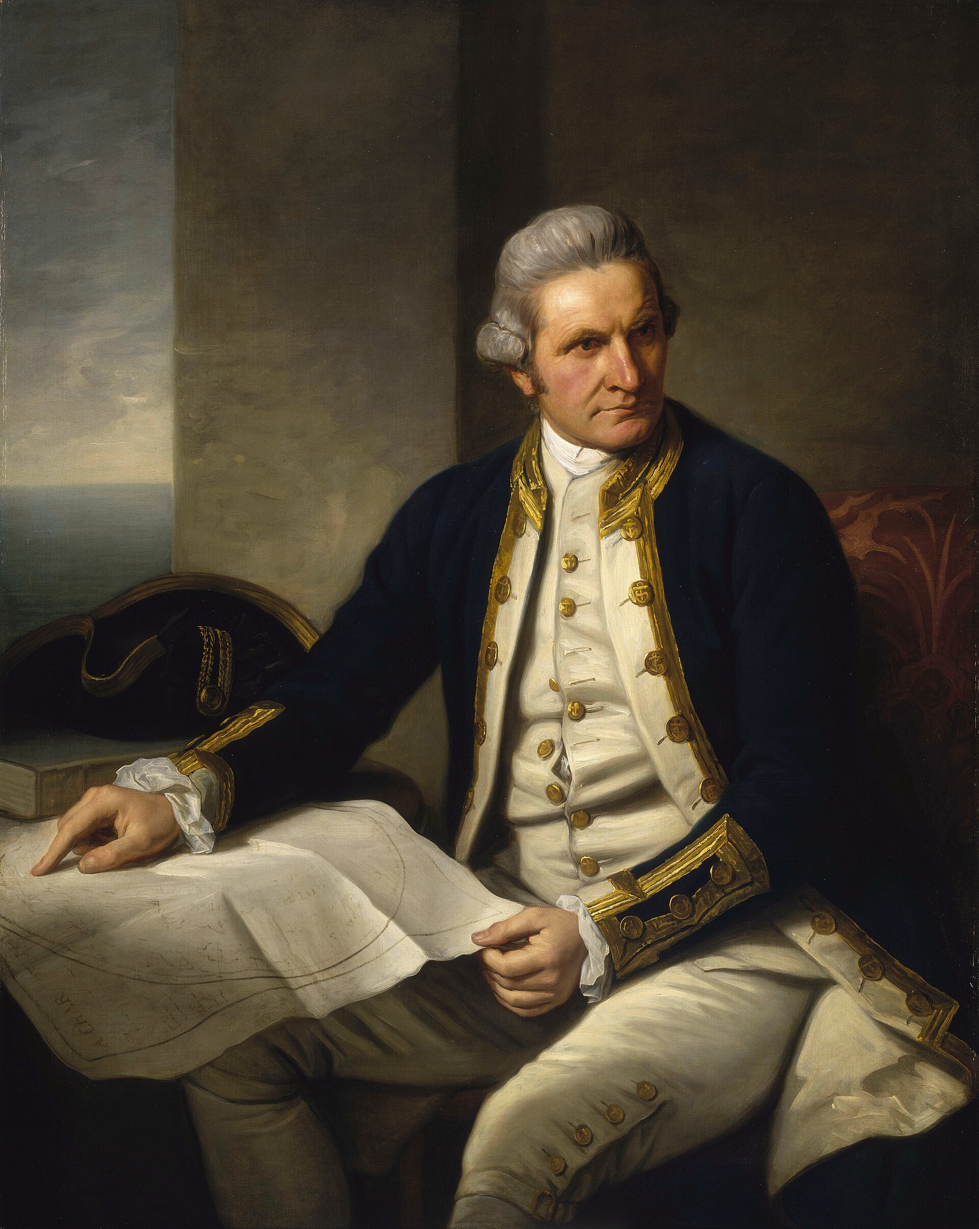
On 7 November 1728, in the small Yorkshire village of Marton, a farm labourer named James Cook and his wife Grace Pace welcomed their second child among eight. There was nothing in the boy's circumstances to suggest greatness: his father worked the land for a local landowner, and the family later moved to Airey Holme farm at Great Ayton, where that landowner, Thomas Skottowe, paid for young James to attend a charity school. Five years of schooling were all he got before, at thirteen, he was put to work alongside his father.
At sixteen, Cook was sent to the fishing village of Staithes to apprentice as a shopboy under a grocer named William Sanderson. He proved hopeless behind a counter. But through Sanderson, Cook met the Walker brothers of Whitby, prominent shipowners in the coal trade, and his life changed course. He joined their fleet as a merchant apprentice, sailing the collier Freelove between the Tyne and London, and quietly taught himself algebra, geometry, trigonometry, navigation and astronomy — the tools, as it happened, of a future explorer.
By 1752 Cook held a mariner's licence and was serving as mate on the brig Friendship, working ports in Norway and the Netherlands and learning the treacherous shallows of Britain's east coast. At twenty-six he was offered command of that very ship. He turned it down. Instead, in June 1755, he enlisted in the Royal Navy as Britain braced for what would become the Seven Years' War.
His naval career began modestly aboard HMS Eagle, where he helped capture one French warship and sink another, and was informally promoted to boatswain after his predecessor's death. In 1757 he passed his master's examinations at Trinity House, Deptford, qualifying to navigate a King's ship, and joined HMS Solebay before moving to HMS Pembroke.
It was during the 1758 siege of the Fortress of Louisbourg in Nova Scotia that Cook's true talent surfaced. The day after the fortress fell, he met an army officer, Samuel Holland, surveying the ground with a plane table. The two struck up an instant rapport, and Holland taught Cook his methods. Together they charted the treacherous entrance to the St Lawrence River — Cook supplying the sailing directions — and in 1758 Cook drew his first map ever to be engraved and printed, of Gaspé Bay, published the following year.
More from Explorations
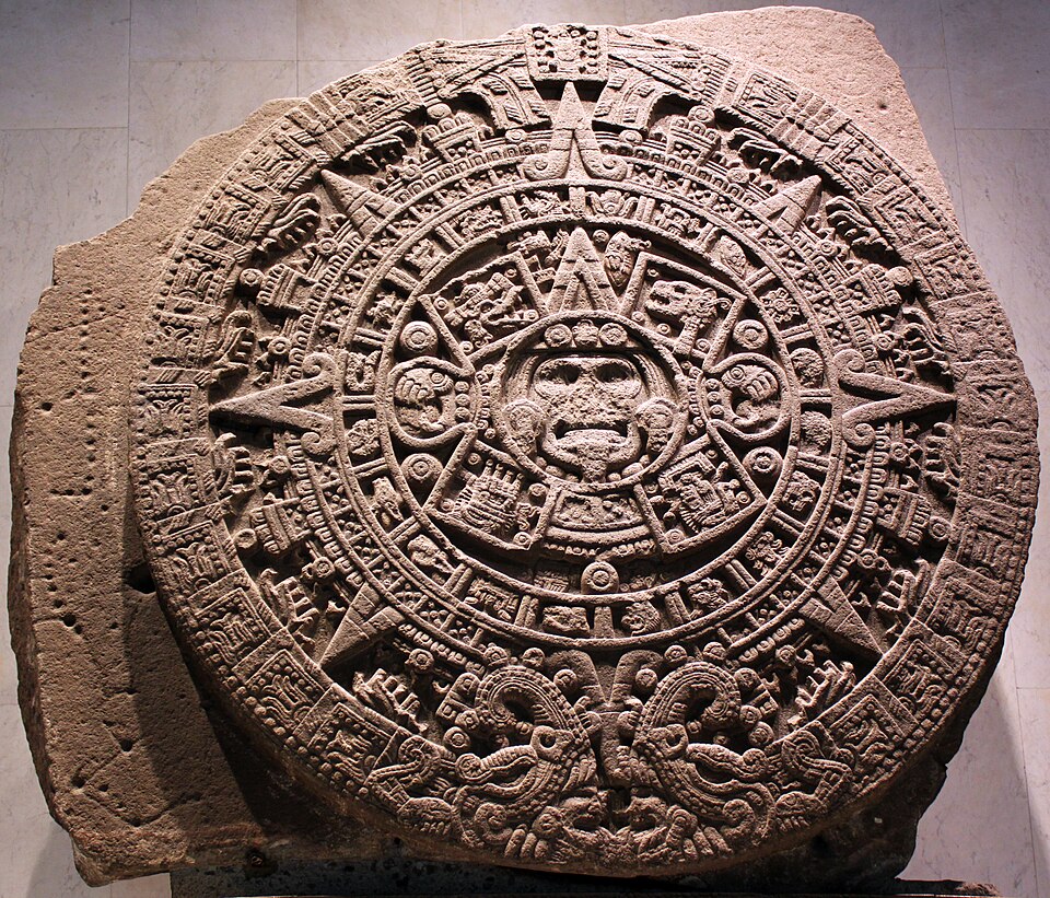
Humboldt: The Man Who Measured the World
A Prussian noble's son, once mocked as a sickly child, would climb a volcano to a world-record height and rewrite how humanity understood nature itself.
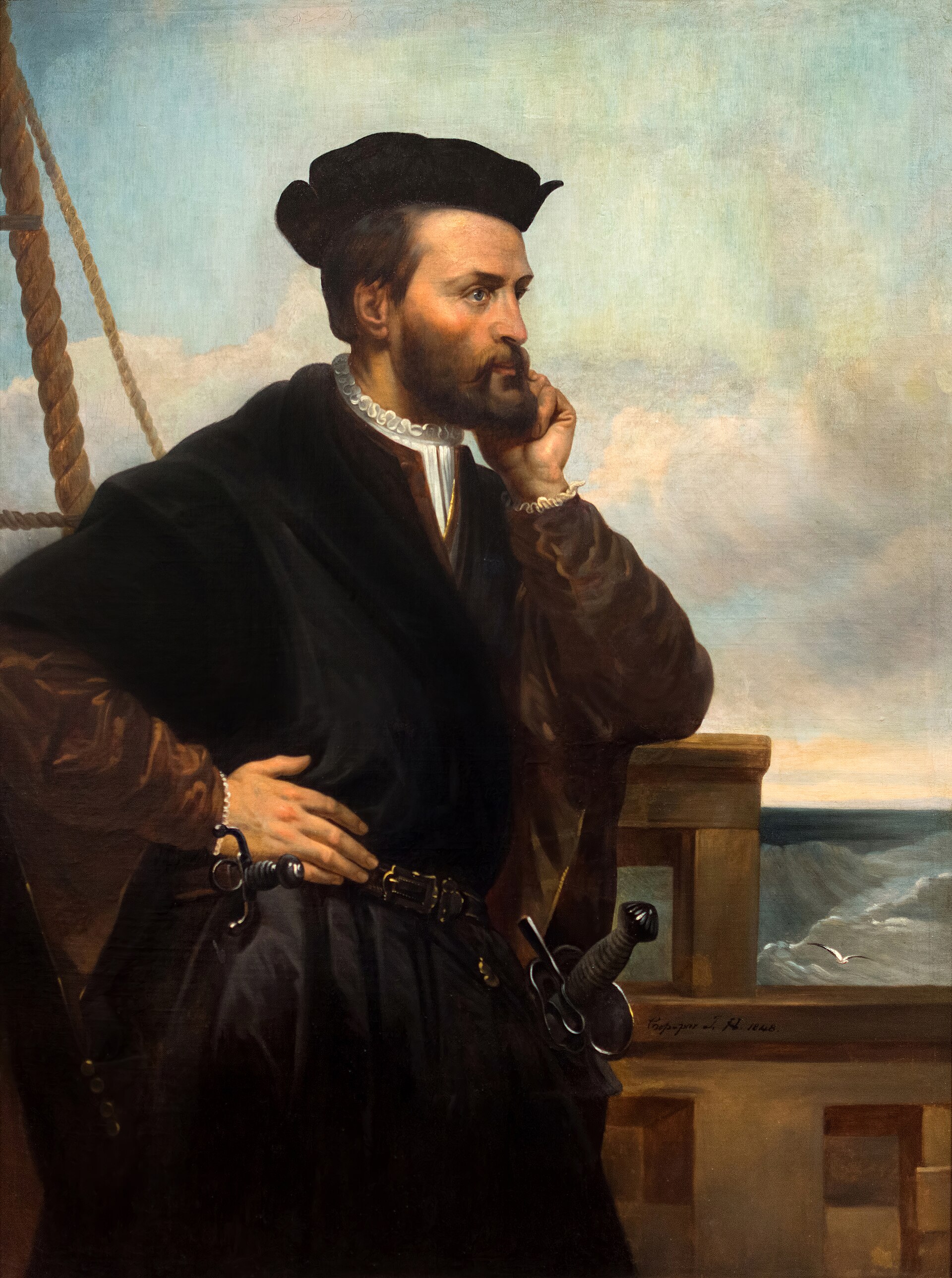
The Man Who Named Canada
A Breton mariner planted a wooden cross on a foreign shore and claimed a kingdom he did not understand — then spent a winter frozen into its river, praying a stranger's remedy would save his men.
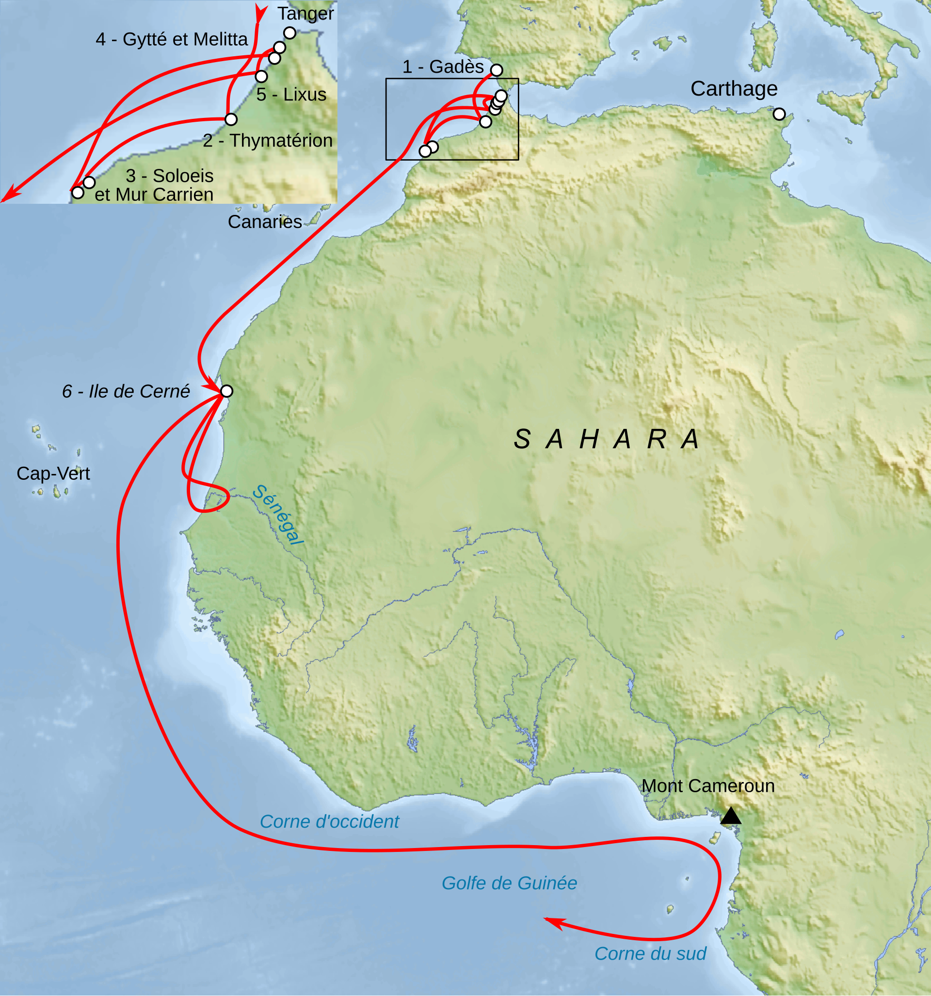
Sixty Ships Into the Unknown: Hanno's Voyage Down the African Coast
A Carthaginian fleet of sixty ships and thousands of settlers vanished past the Pillars of Hercules to found cities on an unmapped coast — and came home with the skins of hairy, hostile 'gorillas' as proof of how far they had gone.
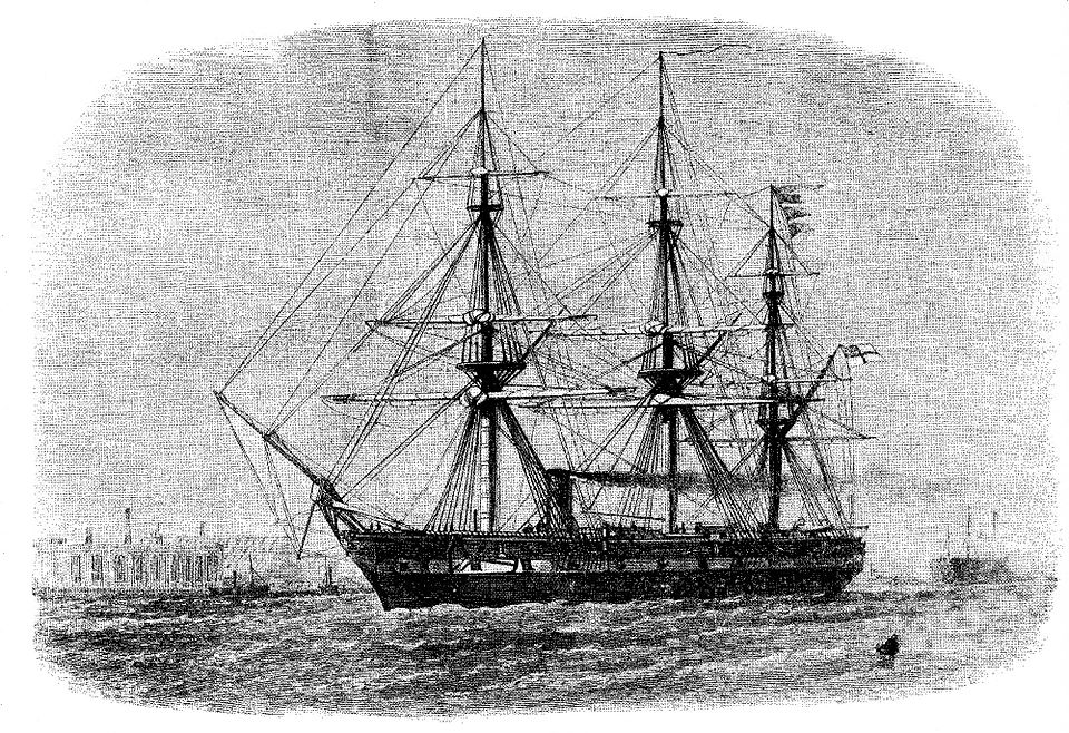
HMS Challenger: The Voyage That Charted the Deep
A stripped-down warship, its guns torn out to make room for microscopes, set sail from Portsmouth to answer a question no one had ever properly asked: what lies at the bottom of the sea?
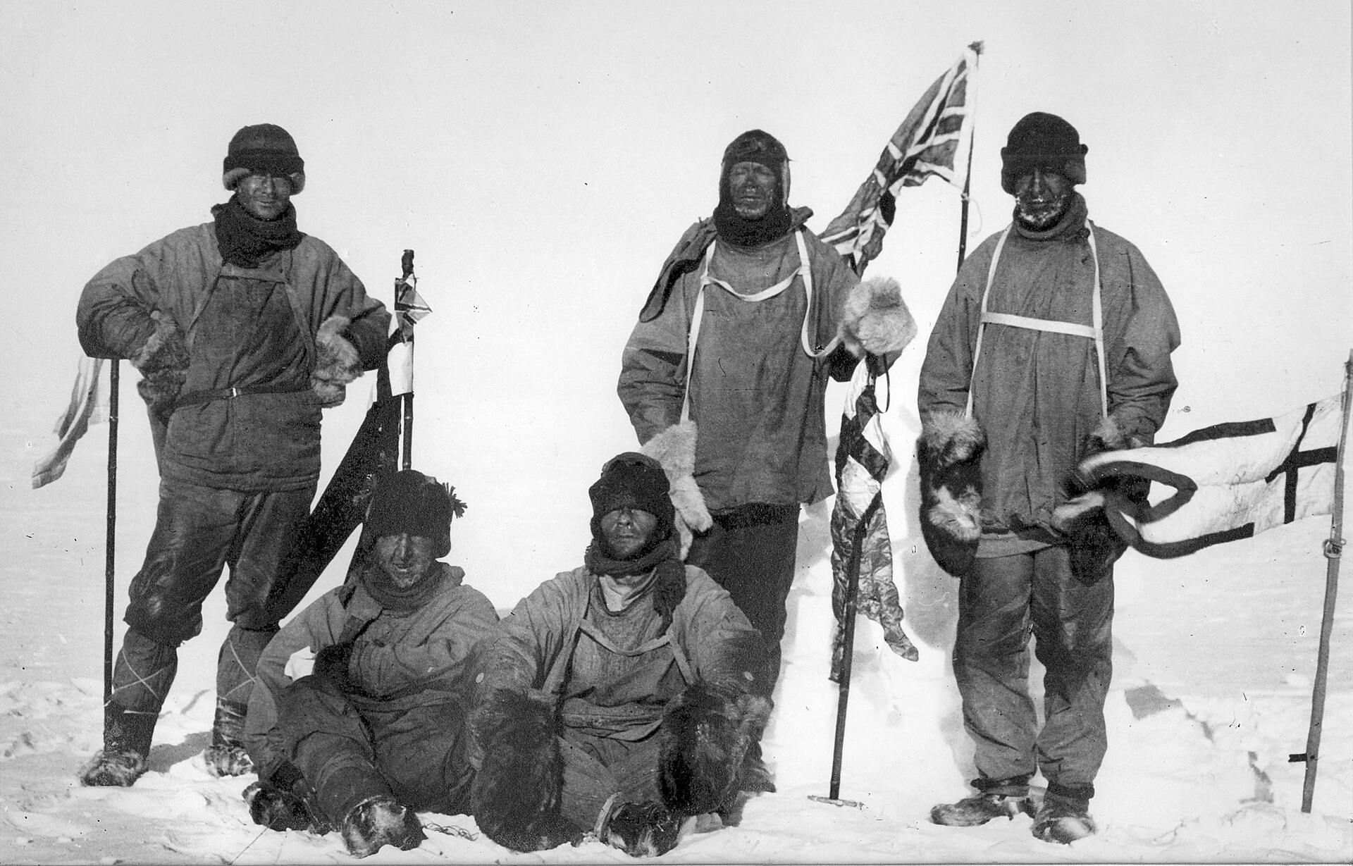
Scott's Last Expedition: The Letters Written at the End of the World
Five men reached the bottom of the world only to find a Norwegian flag already planted there. What followed was not glory, but a slow, frozen unraveling that the world would remember for a century.
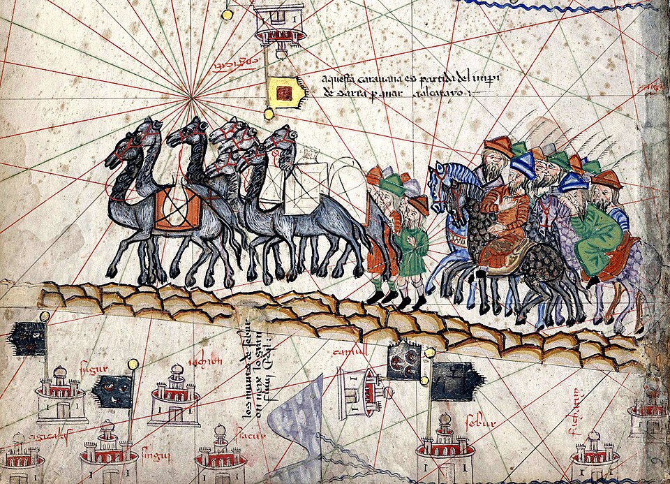
Marco Polo: In the Court of Kublai Khan
A fifteen-year-old boy meets the father he barely knew — and is soon swept toward the richest court on Earth. Twenty-four years later, he returns home with tales so vast that Venice simply calls him 'Mister Millions'.