Carthage: The City Rome Erased from the Map
For nearly three years Roman legions besieged a city so rich it rivaled Alexandria — and when it finally fell, Rome made sure almost nothing of its written record survived.
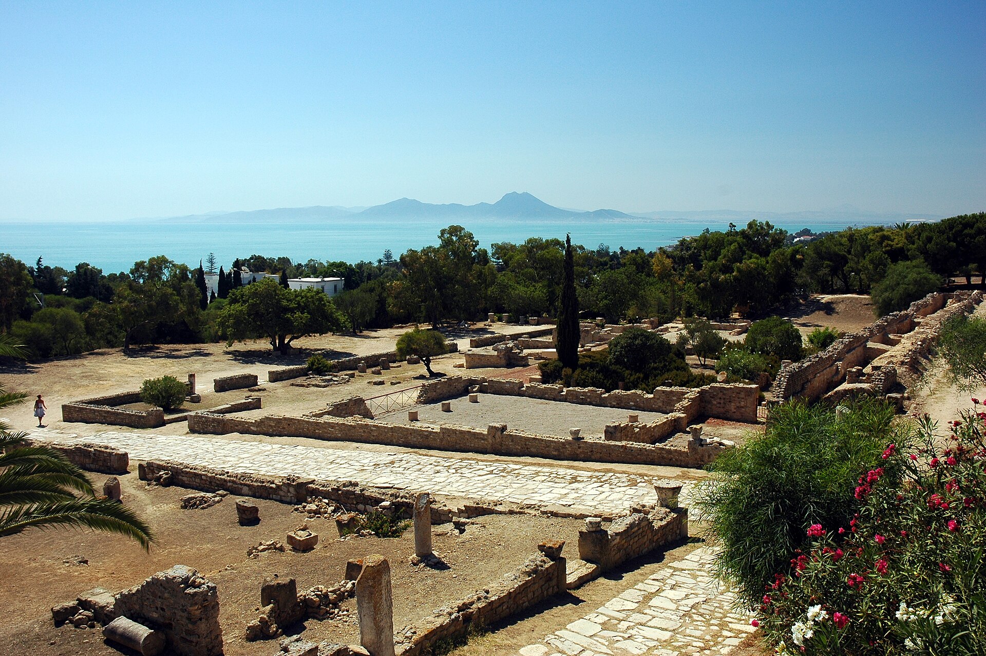
Legend says Carthage began with a trick of geometry. Queen Elissa, later known as Dido, fled Tyre and asked a local ruler in Tunisia for only as much land as an oxhide could cover. She cut the hide into impossibly thin strips, laid them end to end along the coast, and claimed the ground they encircled — around 814 or 813 BC. Whether or not the story is literally true, it captures something real about the city that grew there: a Phoenician colony that used cleverness and position to outgrow its origins entirely.
The name itself told the story. In Punic, Carthage was Qart-hadašt — 'New City' — a deliberate echo of Tyre, the mother city it was meant to surpass. And in time, it did. Built on a promontory between two sea inlets on the eastern side of the Lake of Tunis, Carthage sat exactly where every ship crossing the narrow strait between Sicily and the Tunisian coast had to pass. That single fact of geography turned a colony into an empire.
The city built two artificial harbors to capitalize on its position: one sheltering a navy of 220 warships, the other given over entirely to merchant trade, both watched over by a single walled tower. Around the whole city ran walls nearly 37 kilometers long — longer than those of comparable cities of the age — with the stretch across the western isthmus, some 4.0 to 4.8 kilometers of fortification, so massive it was never breached by force. Carthage grew into one of the largest cities of the Hellenistic world, a metropolis whose population, by some ancient accounts, rivaled Alexandria for the rank of second city in the Mediterranean world.
Inside those walls, Carthage was organized with striking order: four equal residential quarters, market squares, religious precincts, a council house, a theatre, a sprawling necropolis, and at the city's heart, the fortified height called the Byrsa — the last point to fall when Rome finally took the city. Carthage was governed by two elected kings alongside a senate of roughly 300 men drawn from the wealthiest families, thirty of whom held their seats for life, and a broader assembly of free citizens above a certain wealth threshold. It was not a democracy, but it was not a simple tyranny either — a durable, calculating aristocratic republic that ran an empire stretching from Spain to Sardinia to the coasts of North Africa.
Carthage's expansion inevitably collided with Rome's. In 509 BC the two powers had signed a treaty carving up Mediterranean spheres of trade and influence, a peace that for a while let Carthage keep expanding along the western Mediterranean and North African coast. But peace between two ambitious maritime powers competing for the same sea could not last forever, and the resulting wars — the Punic Wars — became the defining conflict of the ancient Mediterranean.
More from History
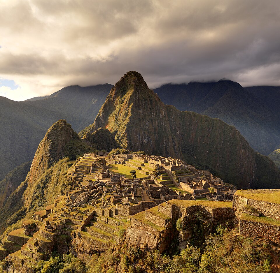
The Morning Bingham Climbed to Machu Picchu
On a cold July morning in 1911, an American historian scrambled up a jungle-choked ridge above the Urubamba River — and by afternoon, a forgotten Inca citadel would belong to the world.
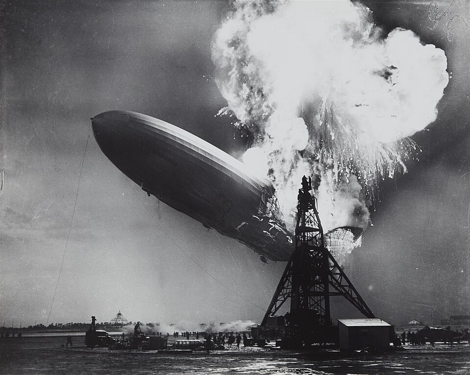
The Last Half-Hour of the Hindenburg
It was already half a day late, and the public had been told to keep away — but at seven o'clock that evening, the Hindenburg finally turned toward its mooring mast for the last time.
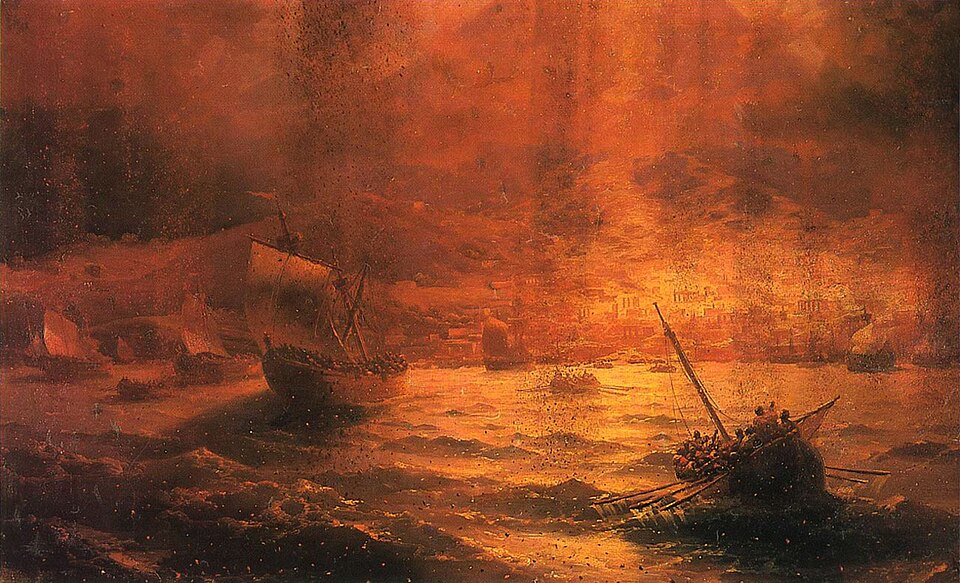
The Last Hours of Pompeii: August 24, 79 AD
By noon it was just another hot day beside the Bay of Naples. By evening, an entire mountain had rewritten the fate of thousands.
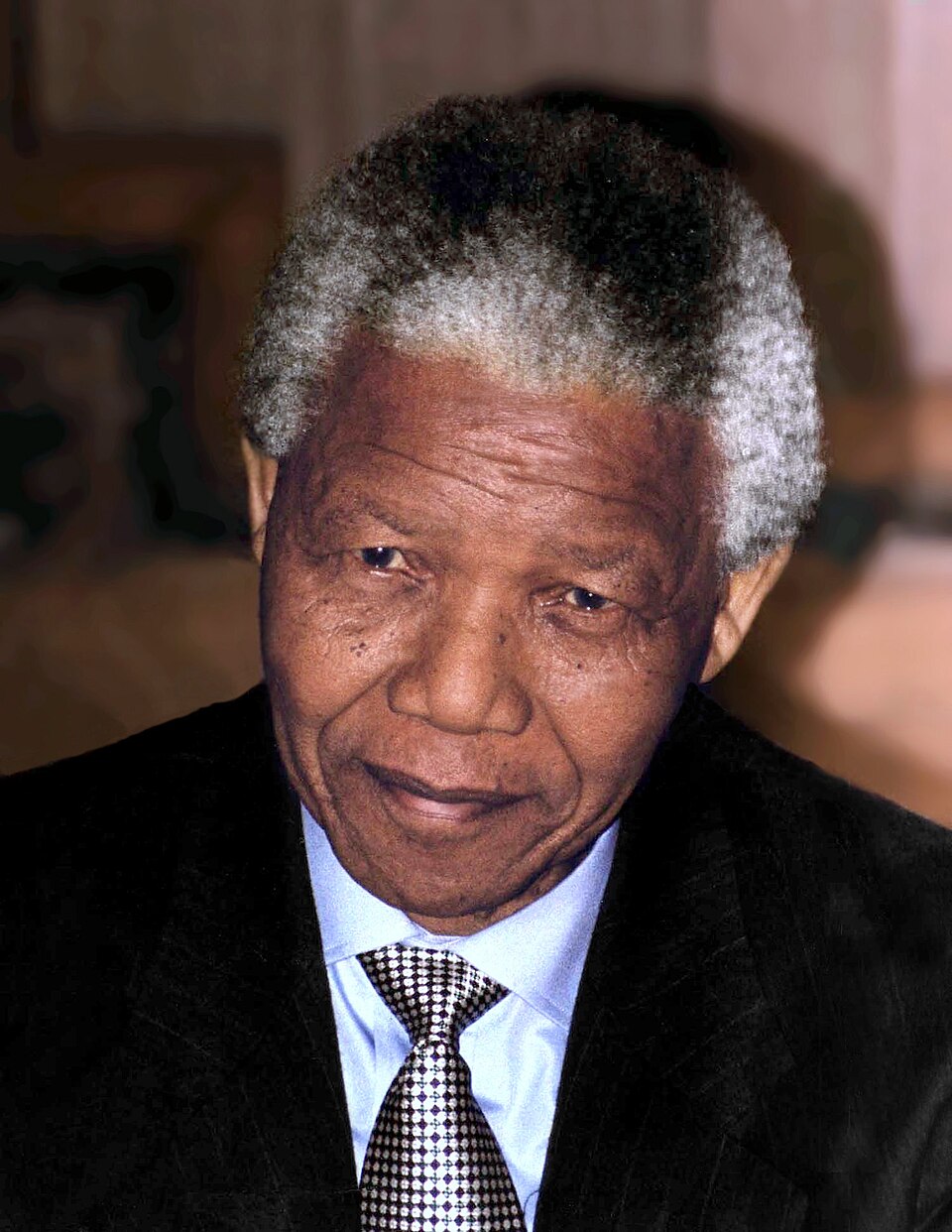
The Longest Walk: Mandela's Last Steps to Freedom
After 27 years behind bars, a 71-year-old man had to relearn how to walk out of a prison gate — into a waiting world of cameras, crowds, and a country holding its breath.
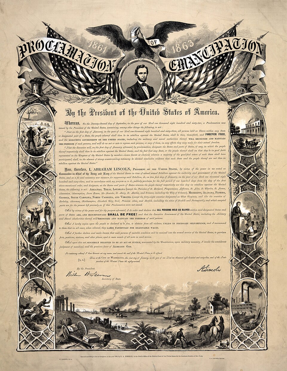
The Document Lincoln Signed on the First Day of 1863
On a single January morning, a president's pen would change the legal status of more than three million people — if the ink held and his hand did not shake.
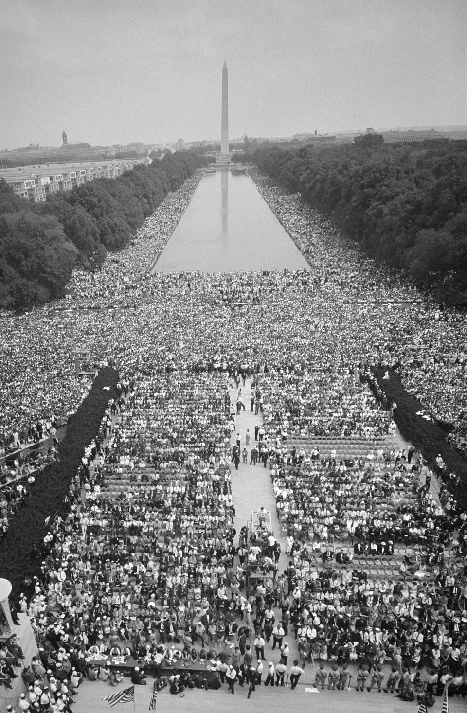
The Day of the Dream: August 28, 1963
Two hundred and fifty thousand people converged on the National Mall that morning — by nightfall, one voice from the steps of the Lincoln Memorial would echo for generations.