The Land Beneath the Waves
Fishermen once dragged mammoth bones and hunting tools from the bottom of the North Sea — the remains of a country that no longer exists.
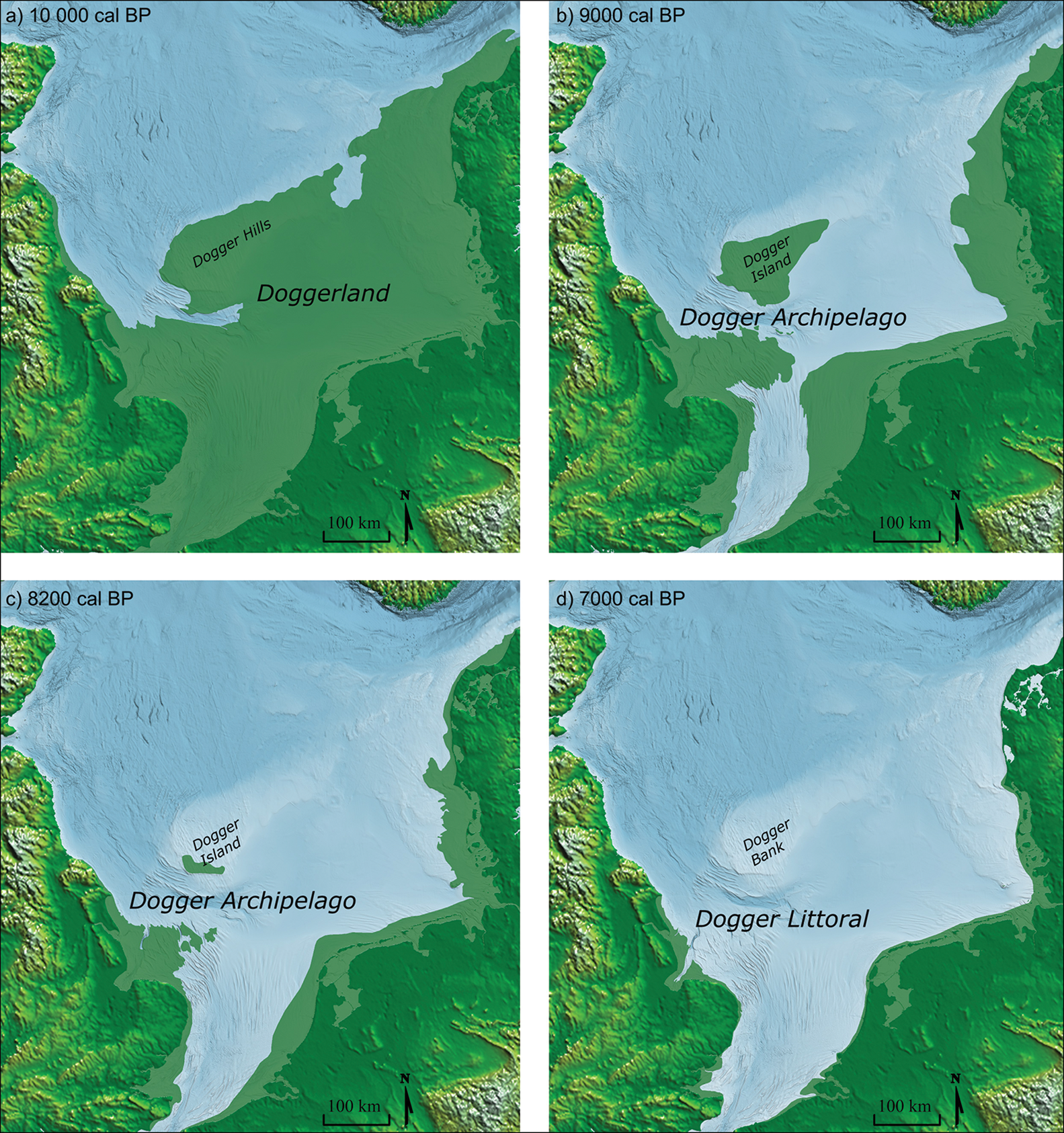
In 1931, a fishing trawler working the waters east of the Wash hauled up something strange in its nets: a barbed antler point, clearly shaped by human hands. When it was dated, the tool proved to belong to a time when this stretch of seabed had been dry tundra. It was the first clear sign that beneath the grey waters of the southern North Sea lay a lost world — one that archaeologists would come to call Doggerland.
Doggerland was not a myth but a real landmass, exposed repeatedly during the Pleistocene as glacial ice locked up the planet's water and sea levels fell. In its final, best-known phase, during the late Pleistocene and early Holocene, it formed a broad plain connecting what is now the east coast of Great Britain to northern France, Belgium, the Netherlands, north-western Germany, and Jutland in Denmark. For a hunter-gatherer, this was not empty land at all — it was likely one of Europe's richest hunting, fowling, and fishing grounds, laced with lagoons, saltmarshes, mudflats, rivers, and lakes.
The story of how Britain came to be an island at all stretches back far earlier than Doggerland's Mesolithic heyday. Until the middle Pleistocene, Britain was simply a peninsula of Europe, joined to the continent by the chalk ridge of the Weald–Artois Anticline across what is now the Strait of Dover. Around 450,000 years ago, during the Anglian glacial stage, an ice sheet filled much of the North Sea basin, damming a vast proglacial lake fed by the Rhine, the Scheldt, and the Thames. When that lake catastrophically overflowed, it carved a channel through the anticline, giving birth to the Channel River — a combined torrent of those three rivers flowing out to the Atlantic.
Whether this single event truly severed Britain from the continent is still debated. Some researchers argue the final break came later, during a second ice-dammed lake's overflow around 340,000 or 240,000 years ago. Geologists Kim Cohen and Marc Hijma have proposed that the anticline's true destruction came during the severe Saalian Glaciation, peaking around 160,000 years ago, with a second meltwater lake finishing the job roughly 130,000 years ago.
After the Last Glacial Maximum, when ice sheets and 120-metre-lower seas gripped the region, the climate warmed again. By around 12,000 BCE, Britain and much of the North Sea and English Channel had become an open expanse of tundra. The old watershed between the North Sea and the Channel ran not through the Strait of Dover but far to the east — from East Anglia southeast toward the Hook of Holland — while the Seine, Thames, Meuse, Scheldt, and Rhine merged into one broad, slow river flowing west along the Channel to the Atlantic.
More from History
The Morning Bingham Climbed to Machu Picchu
On a cold July morning in 1911, an American historian scrambled up a jungle-choked ridge above the Urubamba River — and by afternoon, a forgotten Inca citadel would belong to the world.
The Last Half-Hour of the Hindenburg
It was already half a day late, and the public had been told to keep away — but at seven o'clock that evening, the Hindenburg finally turned toward its mooring mast for the last time.
The Last Hours of Pompeii: August 24, 79 AD
By noon it was just another hot day beside the Bay of Naples. By evening, an entire mountain had rewritten the fate of thousands.

The Longest Walk: Mandela's Last Steps to Freedom
After 27 years behind bars, a 71-year-old man had to relearn how to walk out of a prison gate — into a waiting world of cameras, crowds, and a country holding its breath.
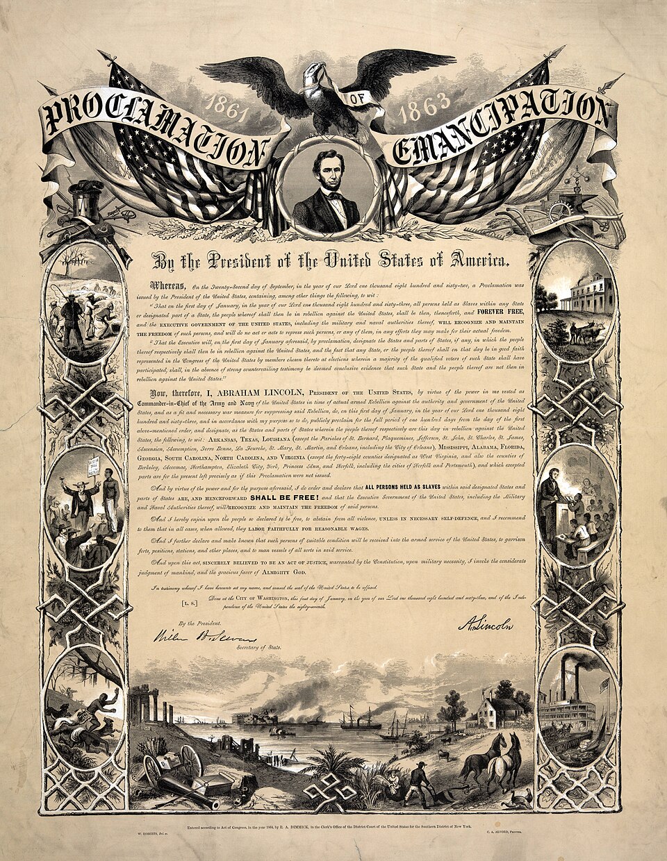
The Document Lincoln Signed on the First Day of 1863
On a single January morning, a president's pen would change the legal status of more than three million people — if the ink held and his hand did not shake.
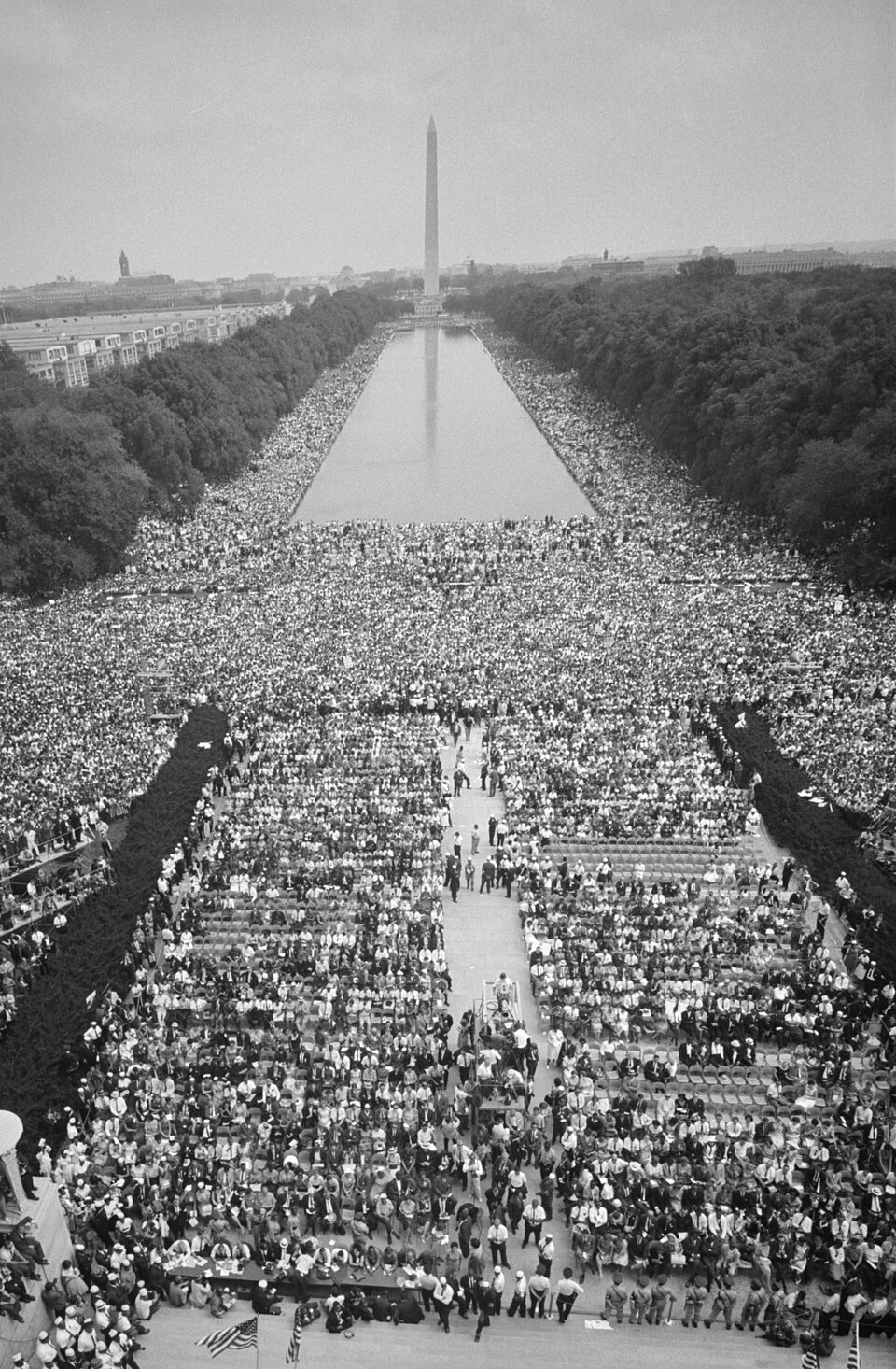
The Day of the Dream: August 28, 1963
Two hundred and fifty thousand people converged on the National Mall that morning — by nightfall, one voice from the steps of the Lincoln Memorial would echo for generations.