Urartu: The Lost Kingdom of Lake Van
Long before Armenia had a name, a mountain kingdom rose beside a great salt lake — and for two centuries it made even the Assyrian empire tremble.
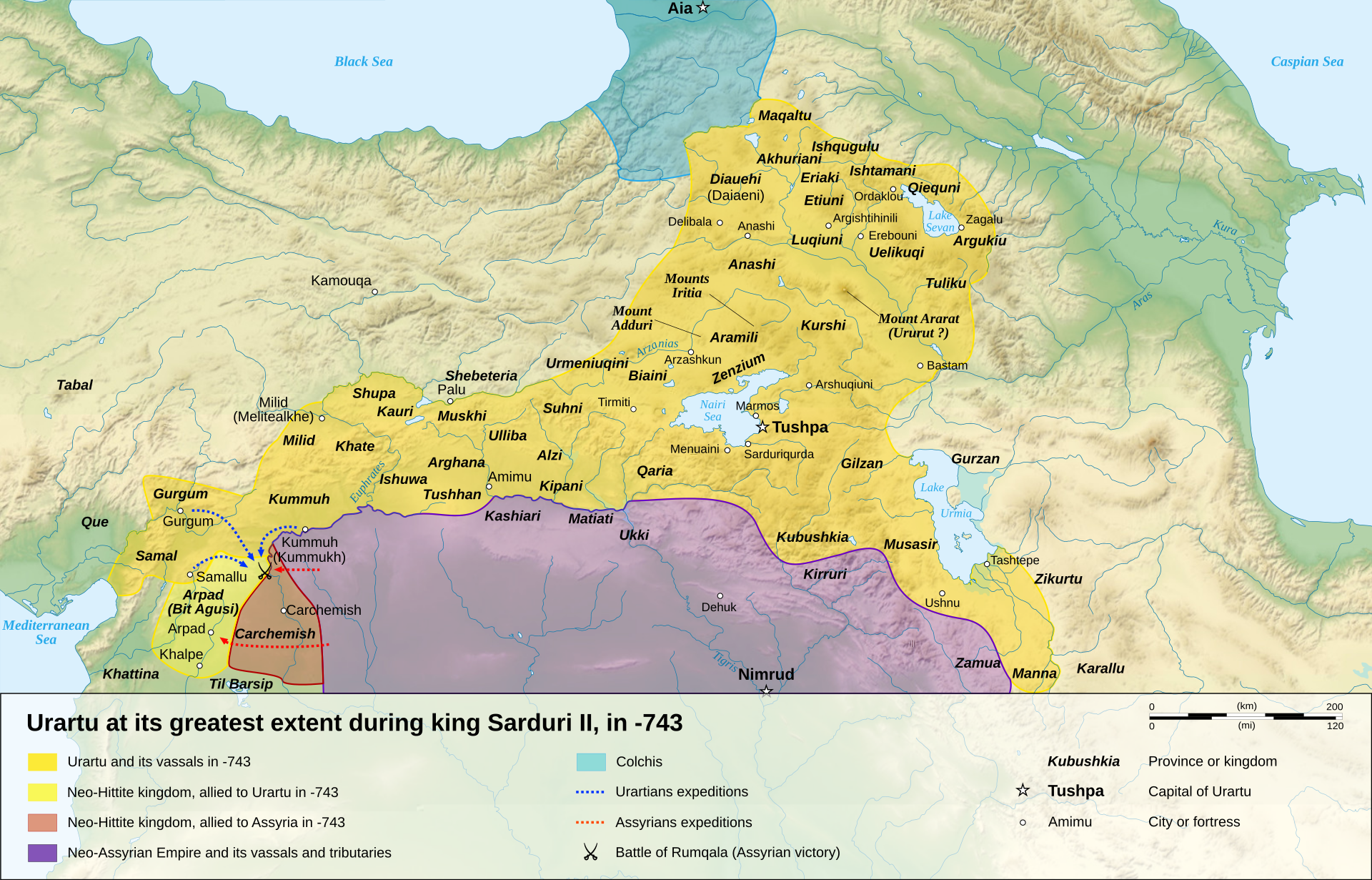
On the eastern edge of Anatolia, where the water of Lake Van is too salty to drink, a kingdom emerged in the mid-9th century BC that would dominate the Armenian highlands for nearly three hundred years. The Assyrians called it Urartu, a name their scribes had already used centuries earlier, in the reign of Shalmaneser I (1263–1234 BC), to describe a loose region called Uruatri. Back then it was not a single state but a patchwork of tribes and small lands — eight of them, according to Assyrian records — living across the highlands between Lake Van, Lake Urmia, and Lake Sevan.
The transformation from scattered tribes into a unified kingdom took centuries, and it was pressure from Assyria itself that helped force it. Between 858 and 856 BC, the Assyrian king Shalmaneser III launched deep raids into the region, and the shock of these invasions seems to have accelerated a process of unification already underway. Around 844 BC, a ruler named Sarduri I brought the tribes together at Tushpa, on the shore of Lake Van, founding what would become the Kingdom of Urartu. His inscriptions are the earliest known Urartian royal texts, and the first monumental architecture at the fortress of Van dates to his reign.
The kingdom's own people did not call themselves Urartians. Starting in the co-reign of King Ishpuini and his son Menua, they referred to their land as Biainili, 'those of the land of Bia'. Scholars believe this name evolved into 'Van' in Old Armenian, which is why Urartu is sometimes called the Kingdom of Van or the Vannic Kingdom — a nod to its capital, Tushpa, which sat beside the lake that still bears the name today.
Under King Argishti I, Urartu reached a genuine peak of military and economic power. He pushed the kingdom's borders westward, seizing settlements along Assyrian trade routes, and extended Urartian control into Transcaucasia, where he founded the fortress of Erebuni. Argishti also built an extensive network of irrigation canals and roads binding the kingdom together, and founded a city named after himself, Argishtihinili, on the banks of the Aras river — for a time serving as a capital as Urartu expanded toward the Caucasus.
At its height, Urartu's territory stretched across roughly 520,000 square kilometers, from the Euphrates in the west to Lake Urmia in the east, bounded by the Caucasus Mountains to the north and the Zagros range of northern Iraq to the south. The Taurus Mountains formed a natural shield against Assyrian incursions from the south. Within these borders rose great fortresses — Van Kalesi, Erebuni, Anzaf, Çavuştepe, Toprakkale, Altıntepe — and archaeologists still study these sites for what they reveal about Urartian sophistication in metalwork and monumental building.
More from History
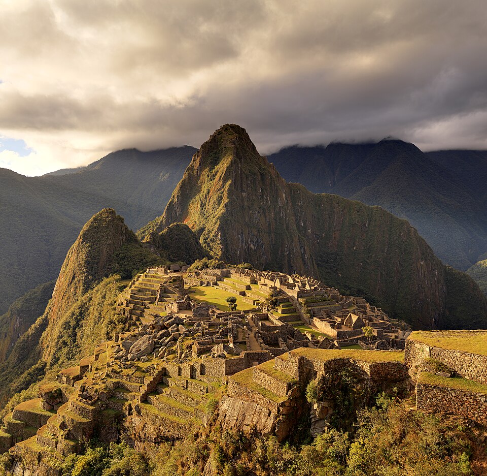
The Morning Bingham Climbed to Machu Picchu
On a cold July morning in 1911, an American historian scrambled up a jungle-choked ridge above the Urubamba River — and by afternoon, a forgotten Inca citadel would belong to the world.
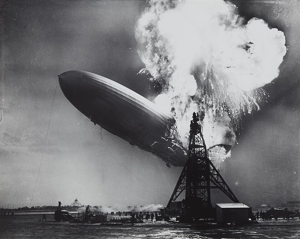
The Last Half-Hour of the Hindenburg
It was already half a day late, and the public had been told to keep away — but at seven o'clock that evening, the Hindenburg finally turned toward its mooring mast for the last time.
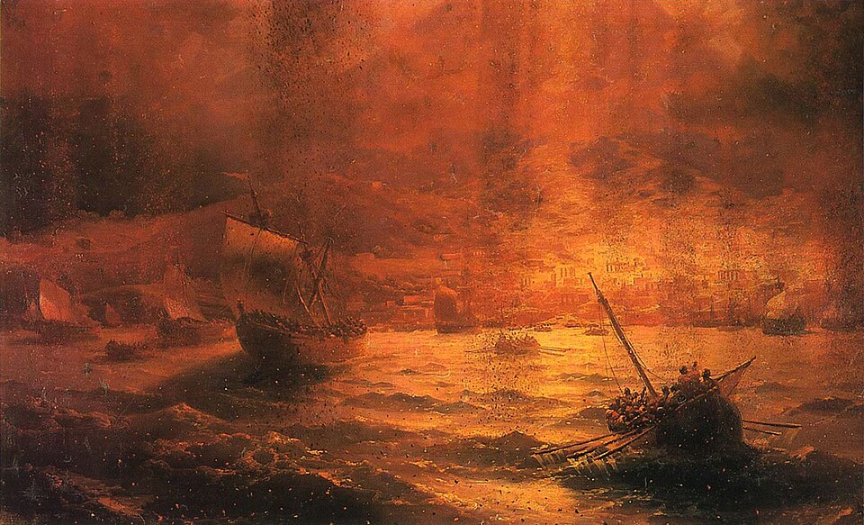
The Last Hours of Pompeii: August 24, 79 AD
By noon it was just another hot day beside the Bay of Naples. By evening, an entire mountain had rewritten the fate of thousands.
The Longest Walk: Mandela's Last Steps to Freedom
After 27 years behind bars, a 71-year-old man had to relearn how to walk out of a prison gate — into a waiting world of cameras, crowds, and a country holding its breath.
The Document Lincoln Signed on the First Day of 1863
On a single January morning, a president's pen would change the legal status of more than three million people — if the ink held and his hand did not shake.
The Day of the Dream: August 28, 1963
Two hundred and fifty thousand people converged on the National Mall that morning — by nightfall, one voice from the steps of the Lincoln Memorial would echo for generations.